Noah Klein · 11 October 2026
Exploring How Satellite Data Reshapes Interpretations of Public Access Rights Along Dynamic Coastlines
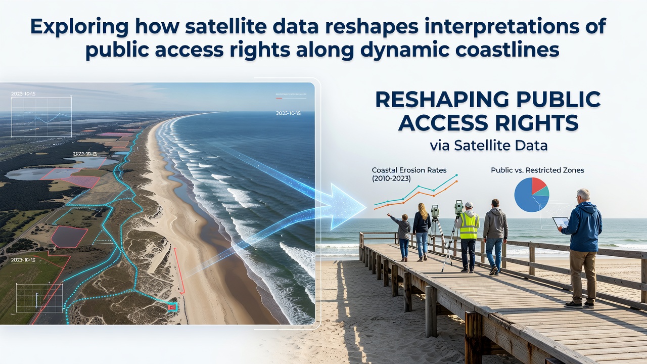
Coastlines shift constantly under the influence of tides, storms, and rising sea levels, which creates ongoing challenges for defining public access rights where private property boundaries meet the shore. Satellite data now supplies precise, repeated measurements of these movements, allowing agencies and courts to update interpretations of access corridors that once relied on infrequent ground surveys or outdated maps. Observers note that this technology captures both gradual erosion and sudden changes after major weather events, giving a clearer record of where the water's edge has moved over decades.
Agencies such as the National Oceanic and Atmospheric Administration maintain archives of Landsat and Sentinel imagery that track the position of the mean high water line, a key reference for many coastal jurisdictions. These records show how segments of shoreline have migrated tens of meters inland in some regions since the 1980s, altering the physical space available for public passage. Data sets from the European Space Agency's Copernicus program add complementary coverage across European coasts, where similar boundary questions arise in countries facing comparable erosion patterns.
Mapping Shoreline Movement with Repeated Observations
High-resolution imagery collected at regular intervals reveals patterns that single-date photographs cannot show. Analysts combine optical and radar data to distinguish between seasonal beach accretion adn permanent land loss, which matters when determining whether a public right-of-way still exists at its historic location. In October 2026, updates from ongoing Sentinel-2 missions are expected to refine models that project future shoreline positions under different sea-level scenarios, extending the utility of current data sets for long-term planning.
Researchers compare multi-year composites to isolate storm-driven changes from background trends, producing maps that legal teams can reference during disputes over blocked beach access. The approach reduces reliance on anecdotal reports or conflicting property surveys, since the satellite record supplies an independent, time-stamped sequence of positions. Those who manage coastal databases note that integrating these layers with elevation models further clarifies whether a given stretch of shore remains accessible at high tide or has become submerged.
Legal Frameworks Adapting to New Evidence
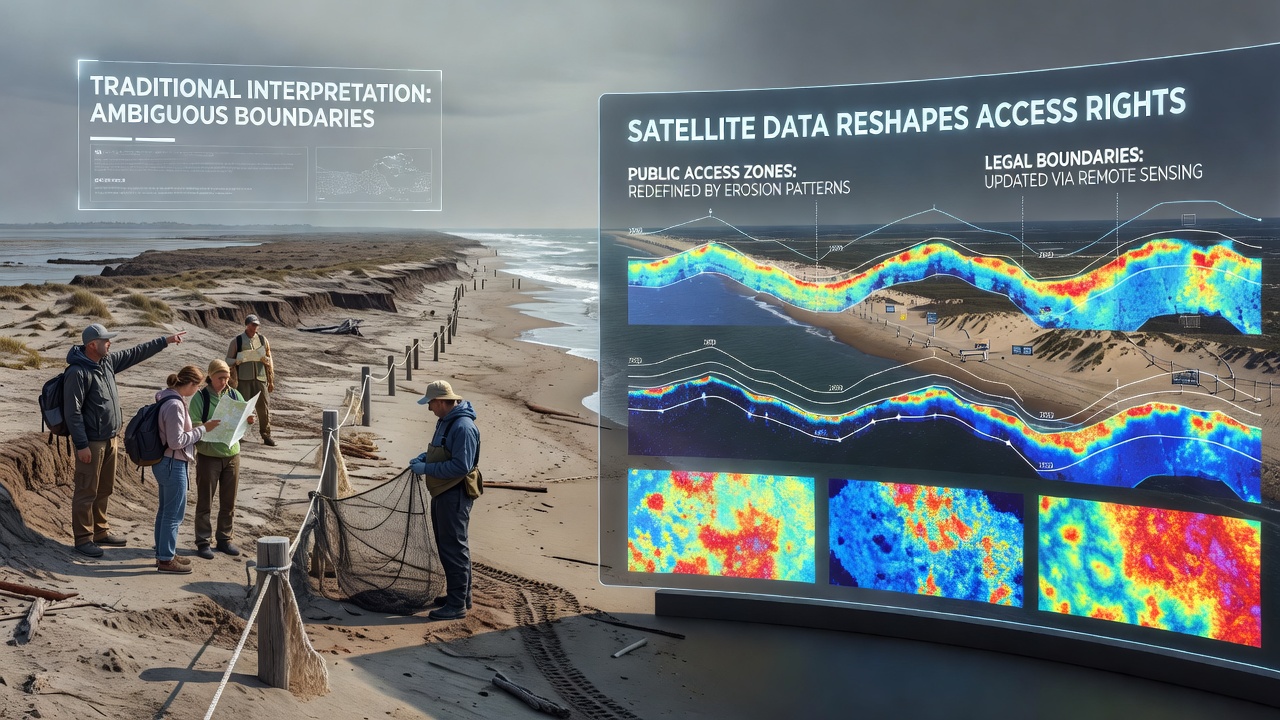
Many jurisdictions define public access using ambulatory boundaries that move with the shoreline, yet older statutes assumed slower rates of change than current measurements indicate. Satellite-derived shoreline vectors now enter court records as exhibits, allowing judges to evaluate whether a claimed private encroachment has crossed into historically public areas. Data shows that some parcels once classified as upland now lie below the updated mean high water line, which shifts the practical application of access statutes without requiring new legislation.
Authorities in Australia have incorporated Geoscience Australia shoreline monitoring products into planning overlays, while Canadian federal departments reference similar satellite analyses for northern coastal communities experiencing rapid permafrost thaw and erosion. These examples illustrate how the same remote-sensing techniques support distinct regulatory systems across continents. Observers point out that the consistency of satellite observations across borders also facilitates comparative studies that highlight which legal approaches best accommodate dynamic coastlines.
Case Examples from Different Regions
Along the US Atlantic coast, repeated imagery has documented inlet migration that relocated public access points hundreds of meters from their positions recorded in the 1990s. Local governments have used these findings to adjust easement locations rather than litigate each incremental shift. In the Mediterranean, Copernicus data has helped Spanish and Italian regional authorities identify beaches where public rights persist despite private development that appeared compliant under older surveys. One study revealed that certain stretches narrowed by more than 30 percent between 2000 and 2020, prompting revised signage and maintenance plans.
Similar work in New Zealand combines satellite observations with lidar to update the coastal marine area boundary, which determines where public access rights begin. These projects demonstrate that the technology does not replace local knowledge but supplies a uniform baseline that communities can verify and supplement with on-site measurements when needed. The resulting maps reduce ambiguity during permit reviews and enforcement actions.
Future Integration and Data Accessibility
Cloud-based platforms now host processed shoreline products that non-specialists can query through simple web interfaces, lowering the barrier for planners and advocacy groups. Open data policies from major space agencies ensure that the underlying imagery remains available for independent verification, which strengthens the credibility of any derived boundary adjustments. As additional commercial constellations add higher revisit rates, the temporal resolution of change detection will increase, capturing seasonal fluctuations that affect seasonal public access windows.
Integration with tide gauge networks and climate projections further extends the value of satellite records beyond historical mapping into forward-looking assessments. Agencies can model how a projected 0.5-meter rise by 2050 would reposition public access zones along specific stretches, giving communities time to plan infrastructure or negotiate easements. The approach keeps interpretations grounded in measurable evidence rather than static assumptions about coastline stability.
Conclusion
Satellite data supplies a continuous, objective record of shoreline dynamics that supports updated interpretations of public access rights where older methods fell short. By combining repeated observations with legal frameworks across multiple countries, agencies produce maps and analyses that reflect actual coastal movement. This evidence base continues to expand as missions deliver new imagery and processing tools become more accessible, enabling consistent application of access principles along changing shores.