Hugo Schmid · 13 September 2026
Decoding Regional Boundary Shifts Through Curated Digital Legal Archives: Patterns in Coastal Jurisdiction Data
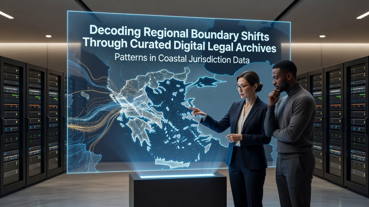
Coastal jurisdiction data stored in curated digital legal archives reveals measurable shifts in regional boundaries over time, and researchers examining these collections note that changes often stem from a combination of environmental factors, updated statutes, and court rulings that redefine territorial limits along shorelines. These archives compile court documents, regulatory filings, and historical surveys that span multiple jurisdictions, allowing analysts to track how lines separating state, federal, or international waters have moved in response to erosion, accretion, and policy adjustments. Data compiled through 2026 shows that many coastal regions experienced boundary adjustments within the previous decade, particularly where rising sea levels intersected with existing legal frameworks that had not anticipated such rapid physical changes.
Methods Used to Curate and Analyze Legal Archives
Archivists and data specialists organize coastal jurisdiction records by digitizing paper documents from state and national repositories, then applying metadata tags that link each record to geographic coordinates, dates, and relevant statutes. This process creates searchable databases where patterns emerge when queries isolate cases involving tidal boundaries, submerged lands, and overlapping claims between adjacent authorities. One study of North American coastal records found that digitized collections from the early 2000s onward contained a higher frequency of boundary disputes tied to environmental impact assessments, whereas earlier decades featured more disputes centered on resource extraction rights. Analysts cross-reference these tagged entries with satellite imagery and survey data to confirm physical boundary movements that align with legal decisions.
Observed Patterns in Coastal Boundary Movements
Patterns identified across multiple digital archives indicate that boundary shifts occur most frequently in areas where sediment deposition or erosion alters the high-water mark, which serves as a primary reference point in many coastal statutes. Records from the Atlantic seaboard demonstrate repeated adjustments in state jurisdiction lines following major storm events, and similar trends appear in Pacific collections where tectonic activity has contributed to shoreline reconfiguration. Data through September 2026 further indicates that jurisdictions in temperate zones recorded more incremental boundary changes driven by gradual sea-level rise, while tropical regions showed larger discrete shifts linked to specific legal challenges over newly exposed or submerged land parcels. European archives reveal parallel movements in Baltic and Mediterranean coastal zones, where updated environmental directives prompted revisions to national maritime limits that had remained static for decades.
Regional Comparisons Across Digital Collections
Comparisons between North American and Australian digital archives highlight differences in how legal systems respond to the same physical phenomena. Australian records emphasize commonwealth versus state jurisdiction over offshore resources, and these distinctions have produced documented boundary revisions in the Coral Sea region where coral reef growth extended landforms beyond original survey lines. Canadian collections, by contrast, document boundary adjustments along the Arctic coastline where melting permafrost exposed new coastal features that required fresh legal delineation. Researchers note that cross-referencing these international datasets reveals shared challenges in applying legacy statutes to contemporary shoreline conditions, and efforts to harmonize data standards continue through collaborative projects among government agencies.
Role of Court Rulings in Shaping Jurisdiction Records
Court decisions archived in digital repositories serve as primary drivers of boundary redefinition, and analysts tracking these rulings observe that many cases involve disputes over public access rights versus private property claims along eroding shorelines. Rulings from the past fifteen years frequently reference updated topographic surveys that supersede older maps, creating a chain of legal precedent that future cases must follow. One notable series of decisions in the Gulf Coast region adjusted federal jurisdiction boundaries after hurricanes altered barrier island configurations, and these adjustments were subsequently incorporated into federal regulatory databases. Similar patterns appear in records from the Great Lakes, where fluctuating water levels prompted courts to revisit longstanding state boundary agreements.
Data Sources and Analytical Tools
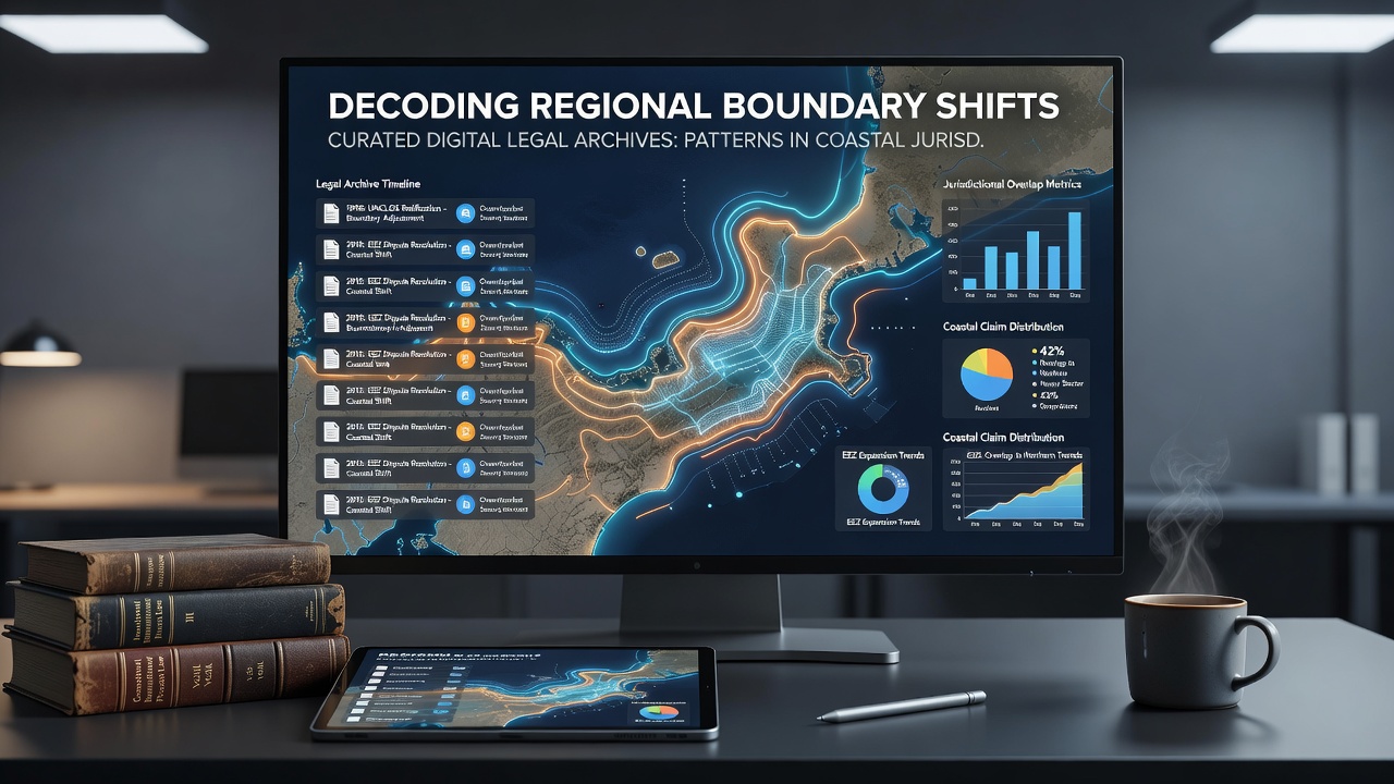
Analysts rely on government-maintained repositories such as those operated by NOAA for U.S. coastal data alongside academic databases that aggregate international case law. These sources supply the raw material for pattern detection algorithms that identify recurring sequences of boundary movement tied to specific environmental triggers. Additional collections maintained by Australian government agencies provide comparative datasets that strengthen conclusions drawn from North American records. Tools for visualization allow researchers to overlay legal boundary changes onto physical shoreline maps, revealing correlations that would remain hidden in isolated document reviews.
Conclusion
Curated digital legal archives continue to expand the available evidence base for understanding coastal jurisdiction shifts, and ongoing digitization projects promise to add further historical depth to existing collections. Patterns extracted from these records demonstrate consistent responses to environmental change across widely separated regions, while regional differences in legal frameworks produce distinct adjustment pathways. As archives incorporate data through September 2026 and beyond, analysts expect additional clarity on how future boundary movements will align with or diverge from established historical trends.